 |
| Parking for Law Kneis by B709 NT 280130 - exit on foot via frosty footbridge to Forest Track - Start 14:30 return 17:30. |
My research on climbing Law Kneis led me to the walkhighlands sub2000s web page where I found several "tales of woe" describing efforts from hillwalkers who had climbed it. In the end I opted for the steep and awkward climb by the side of White Sike burn to reach the forest track. I then followed an awkward and difficult forest ride to the summit itself. You'll see from the map that I did not return alongside White Sike - it was too dangerous to contemplate descending this way in the dark, the wide graded forestry track traversing the side of Deephope Hill was an excellent alternative, and as I was walking down I wished I had gone up that way:
I don't recommend the rough walk route up by White Sike. Future activators may have no choice but to tackle the forest ride which heads east from 286133 though, unless they know of anything easier. There were around 10 fallen trees to negotiate in this forest gap on the ride and the boggy sections were all frozen, so it wasn't all bad - not that I will be returning for what is just a one point 498m high summit.
 |
| At NT 286133 on the graded track looking down on the Angecroft Cottage Caravan Site |
As I exited the forest almost on the highest point it was approaching dusk and I found a place along the old fence. The posts were rotten, but strong enough to support my aerial pole and home brew link dipole:
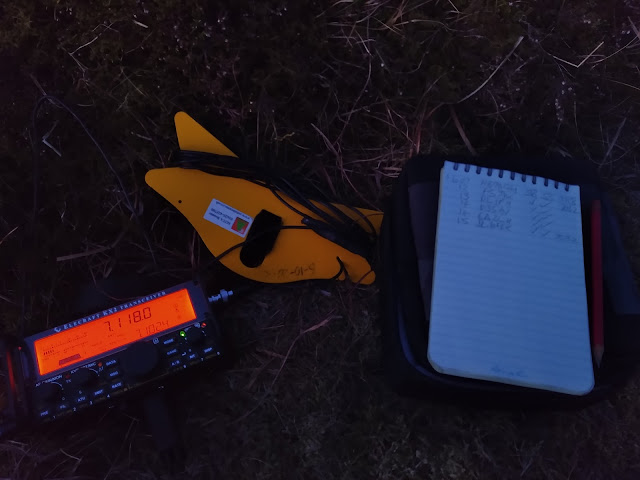
Darkness fell and my headlight was used to allow me to continue the activation....
HF operation on 20m, 30m and 40m was successful, 18 contacts were completed, including K3TCU and K4DY in USA. The usual lightweight KX2 and link dipole at 5m AGL were used. Unsurprisingly from such a remote place, VHF with a handheld with long whip fastened to the fence post was ineffective. Constant monitoring on 145.500 MHz for almost an hour proved fruitless...
Here is the bag I won in the SOTA raffle at Ham Radio in 2018 - I use it stowing my aerial etc in my rucksack:
Walking off was most enjoyable with the headlight illuminating the sparkling frost in the ground surface throughout the length of the forest ride. The decision to take the safer track pictured above was made - once I overcame the bad step down the bank on to it. My car was reached exactly 3 hours after leaving it. The GPX track for this route both ways is lodged in the SOTA Mapping Project Tracks page.


No comments:
Post a Comment