 |
| Click photo to zoom up |
Bishop Forest Hill is a Marilyn summit which lies at the top of the Glenkiln Valley in the Dumfries and Galloway region. The valley contains a sculpture park which was assembled between 1951 and 1976 by the landowner Sir William Keswick. You can find out more about these sculptures on various websites, including Wikipedia.
 |
| SS-228 Parking place in side road near cattle grid at Marglolly Bridge |
On my visit to the four summits planned for the day I did not have the time to contemplate these interesting artefacts which are unusually situated in a moorland setting. I did however see three out of the six sculptures in passing whilst driving up the valley to the parking place for SS-228 at Marglolly Bridge. I hope to go back again sometime and have a closer look at them.
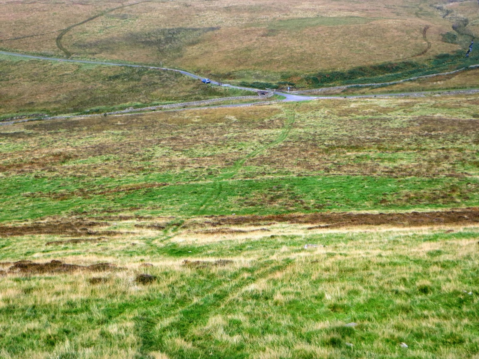 |
| Looking back down the quad track to Marglolly Bridge |
The way to the top was easy - a quad track steep and straight led up the hill across from the bridge, curving left when the climb eased - it was a 25 minute walk for me and I was there, by the big pile of stones and a trig point which had a hole in the top - a perfect fitting for my 6m pole.
 |
| GM/SS-228 Trig point - deep enough to take my 6m long flagpole |
A 63 minute session produced one QSO a minute and I finished with 64 contacts of which amazingly, 12 were on 2m FM. The rest were on 40m CW/SSB, 10 MHz CW and 14 MHz CW/SSB. Amongst the contacts were summit to summits with DG0JMB/P, GM4MD/P, EI/G4ASA/P, GW4VPX/P, F6HBI/P and MW0WML/P who all found me on the 40 metre band.
The summit was activated again five days later by Terry G(M)0VWP.
The summit was activated again five days later by Terry G(M)0VWP.
 |
| A misty view down to the 80 acre Glenkiln Reservoir, built in 1934 and operated by Scottish Water |
The views could have been excellent but unfortunately mist spoiled the outlook down to the Glenkiln Reservoir. I left the summit at 1115z and made for my next climb at the foot of Bennan SS-224. This was only 10 minutes driving time, less than four miles away by road.
 |
| Time to untie my 3 band link dipole and 2m vertical and head to the next summit - Bennan SS-224
If you would like a GPX track of this route it may be downloaded from the SOTA Mapping Project run by Rob DM1CM.
1.9 miles walked with 600 ft ascent. |
No comments:
Post a Comment